Skip to content

Free Tool · No account required

Lay out your homestead on a real map

Trace your property on satellite imagery, turn on free parcel boundaries, and place the cabin, well, septic, solar array, and garden where they'll actually go. The site plan you'd sketch on paper, drawn on your real land.

  • Free for everyone
  • No account, no signup
  • Free parcel boundaries
  • Made for off-grid land
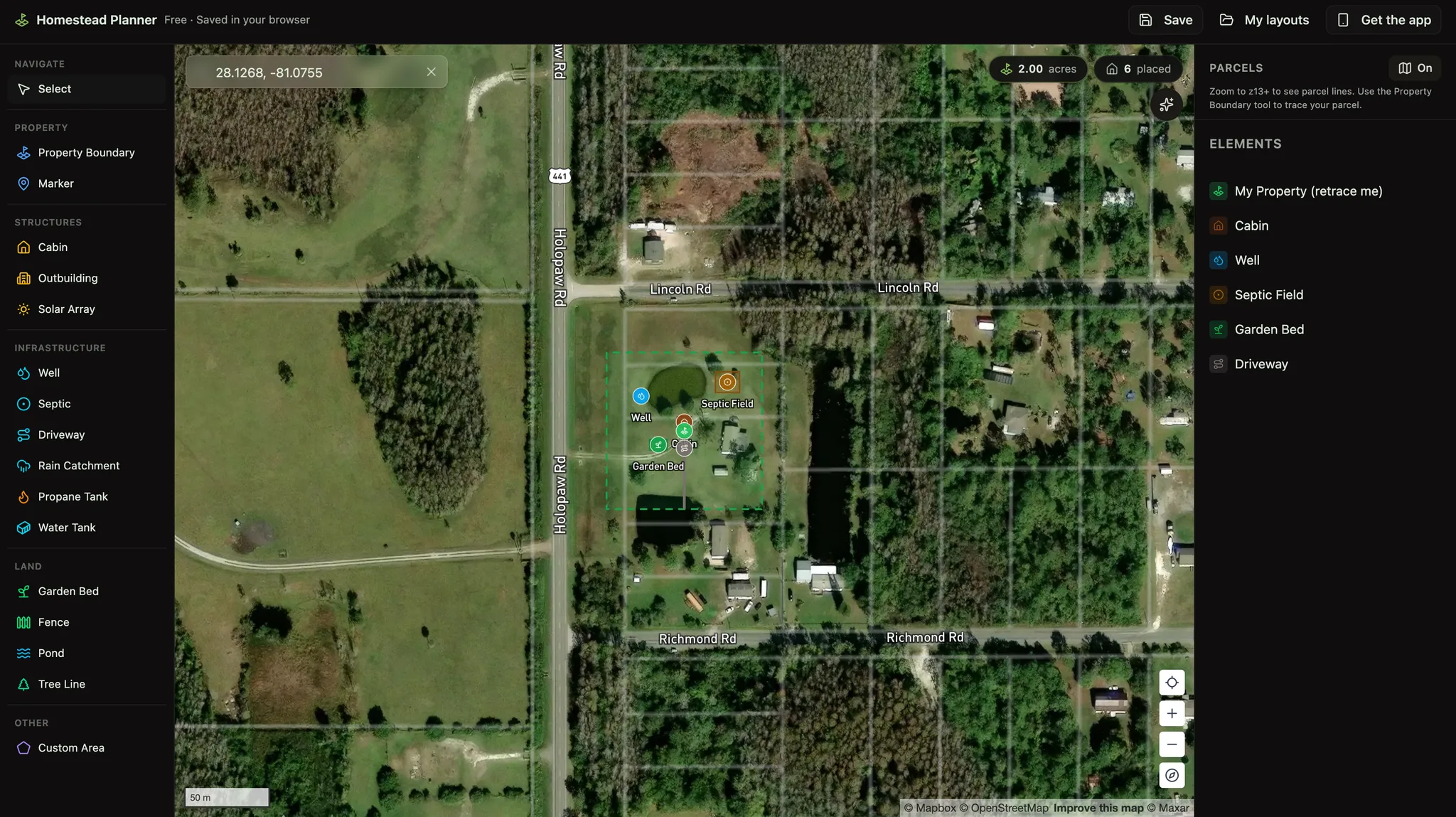
The homestead planner: a 2-acre property boundary traced on satellite imagery with a cabin, well, septic field, garden bed, and driveway placed, the element palette on the left and the parcel overlay switched on
A real layout in the planner: 2 acres traced on rural Florida land, with the well set uphill of the septic field and parcel lines switched on.

What it does

From raw land to a site plan.

Your land, not a blank grid

Search your address or coordinates and plan directly on satellite imagery, with slopes, tree lines, and clearings visible under every decision you make.

Real parcel boundaries, free

Turn on the parcel overlay to see your actual lot lines from free public GIS data, so the well, septic, and fence land inside your property and not your neighbor’s.

The whole build-out catalog

Place a cabin, well, septic, solar array, garden beds, driveway, fencing, and water tanks. Drag to reposition as the plan takes shape.

Pick it back up anytime

Work saves in your browser automatically. Create a free account to keep named layouts and re-open them from any device.

How it works

Three steps to a homestead plan.

01

Find your land

Search your address or drop a pin, then turn on the free parcel overlay to see your actual lot lines on the satellite map.

02

Trace your boundary

Click around your property line to trace it. Everything you place from here on is planned against your real acreage.

03

Place your build-out

Drop in the cabin, well, septic, solar array, garden, driveway, and fencing, then drag anything until the layout feels right.

Why it's free

Built for off-grid living, not upsells.

River Ranch Hub makes free tools for people building a life off the grid. This planner runs in your browser on free, public GIS data. No quote forms, no email wall, no selling your info. Use it to plan a purchase, site a build, or just see what your land could hold.

Common questions

Homestead planning, answered.

Yes. The River Ranch Hub homestead planner is free and runs in your browser, with no account and no email wall. Trace your property on satellite imagery and place a cabin, well, septic, solar array, garden, driveway, fence, and more.

Yes. The planner includes a free parcel-boundary overlay (public ArcGIS Living Atlas data), so you can line your plan up with your actual lot lines instead of guessing from the satellite photo.

The element catalog covers the core off-grid build-out: cabin, well, septic system, solar array, garden beds, driveway, fencing, water tanks, and more. Drag anything to reposition it as the plan evolves.

Your work saves automatically in your browser, so you can close the tab and pick it back up. Create a free account to save named layouts and re-open them from any device.

Ready to lay out your land?

Free, no signup, and your plan saves right in this browser.

Open the planner

More free tools

Other tools in this kit

In your pocket

River Ranch Hub, in your pocket.

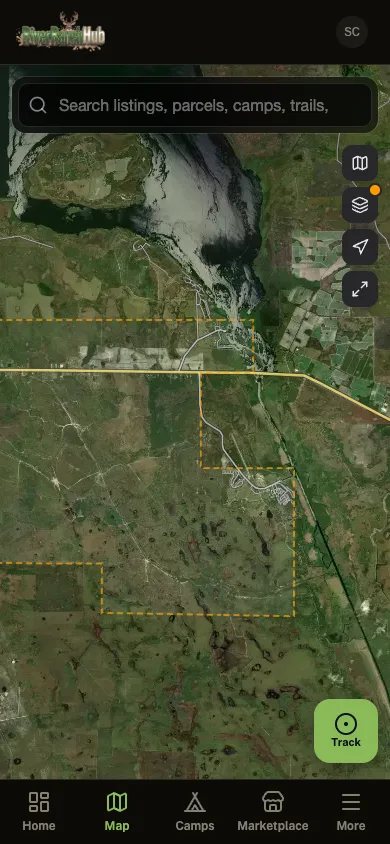
Everything on this site plus the parts that only work in the field: parcel maps, GPS trail recording that keeps going with no signal, one-tap SOS to the neighbors running the app, and fire alerts that reach you before the smoke does.

  • Parcel lines in your pocket. No subscription

  • Wildfire alerts around your community

  • Land for sale and tax auctions on the map

  • GPS tracking that keeps recording where signal never reaches

The River Ranch Hub app