
What's Inside
Everything that is in it.
The whole list, nothing held back for a paid tier. Keep scrolling and we go through the big ones one at a time.
- Free parcel lookups. No subscription
- Tap-to-identify owner & boundaries
- Satellite map with parcel overlays
- Owner name & parcel ID
- 3D flyover mode
- Full River Ranch Acres coverage
- No LandGlide or Regrid needed
- 24/7 NASA FIRMS fire detection
- Community fire spot reports
- Live water level monitoring
- Road passability reports
- Alerts before you smell smoke
- Offline GPS trail recording
- Auto-builds community trail map
- 50,000-acre community, mapped
- Group ride live tracking
- No subscription needed
- Syncs when signal returns
- Community chat & announcements
- Community photo feed
- Camp profiles with photos & amenities
- Neighbor road condition reports
- Gate & RRAPOA access requests
- Claim & showcase your parcels
- Buy, sell & trade. No fees
- Local services directory
- Solar, land clearing, well drilling
- Neighbor-verified reviews
- Tax deed auction listings
- Land for sale & FSBO listings
- No account required to browse
- No subscription fees. Ever
- Works in browser, no download
- Install to home screen (PWA)
- Saved camps, listings and reports cached offline
- iOS & Android apps coming soon
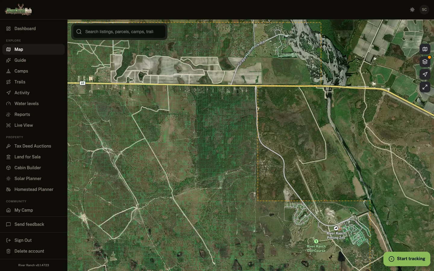
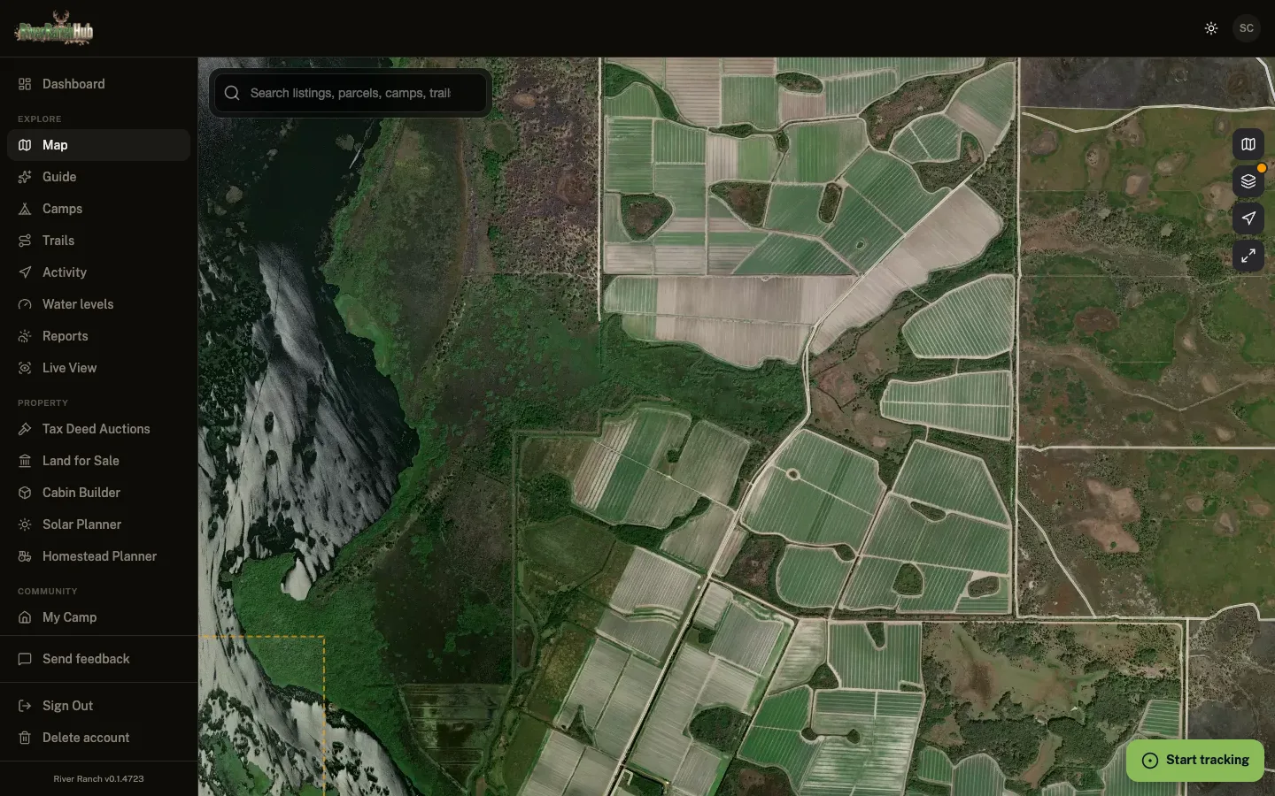
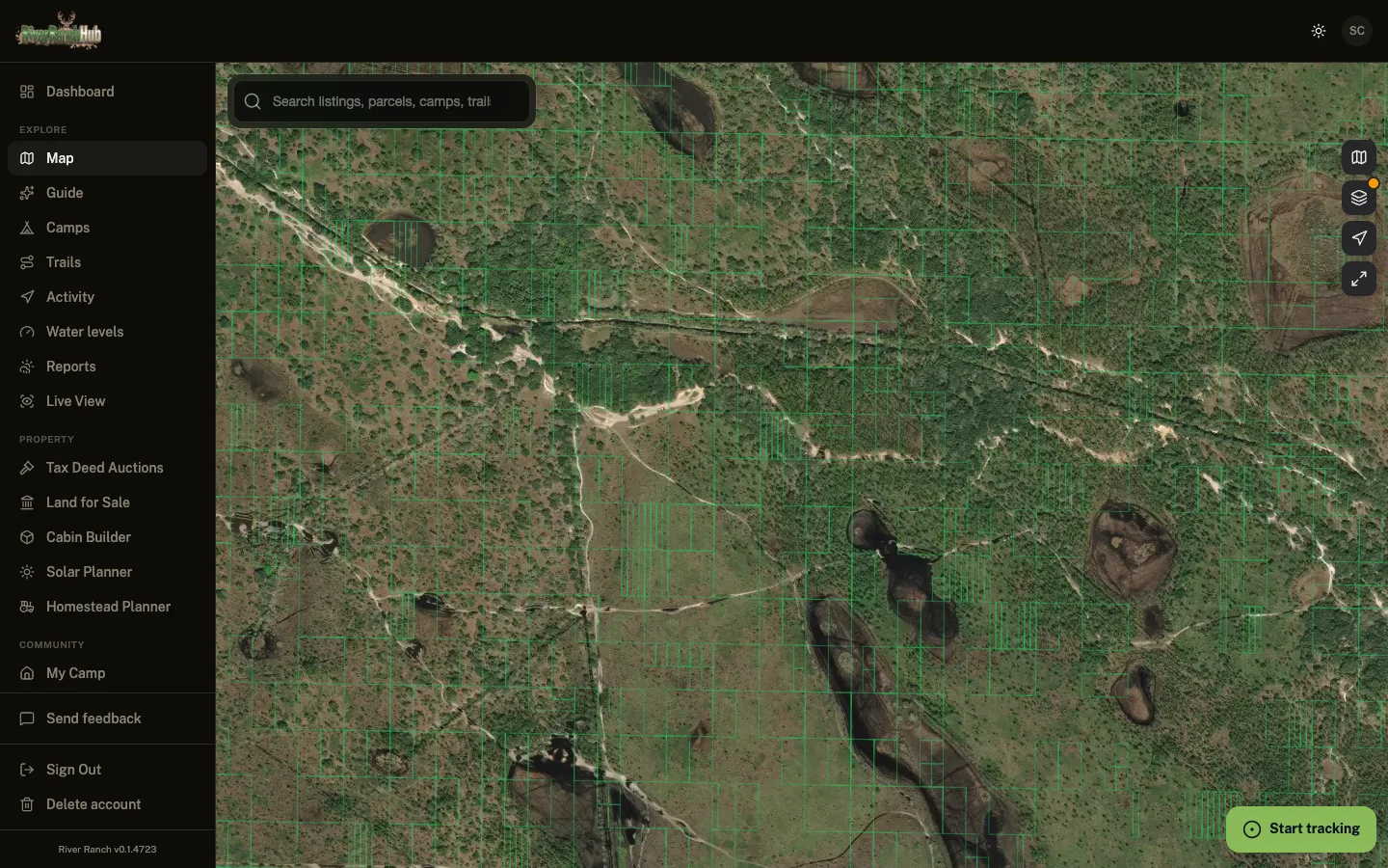
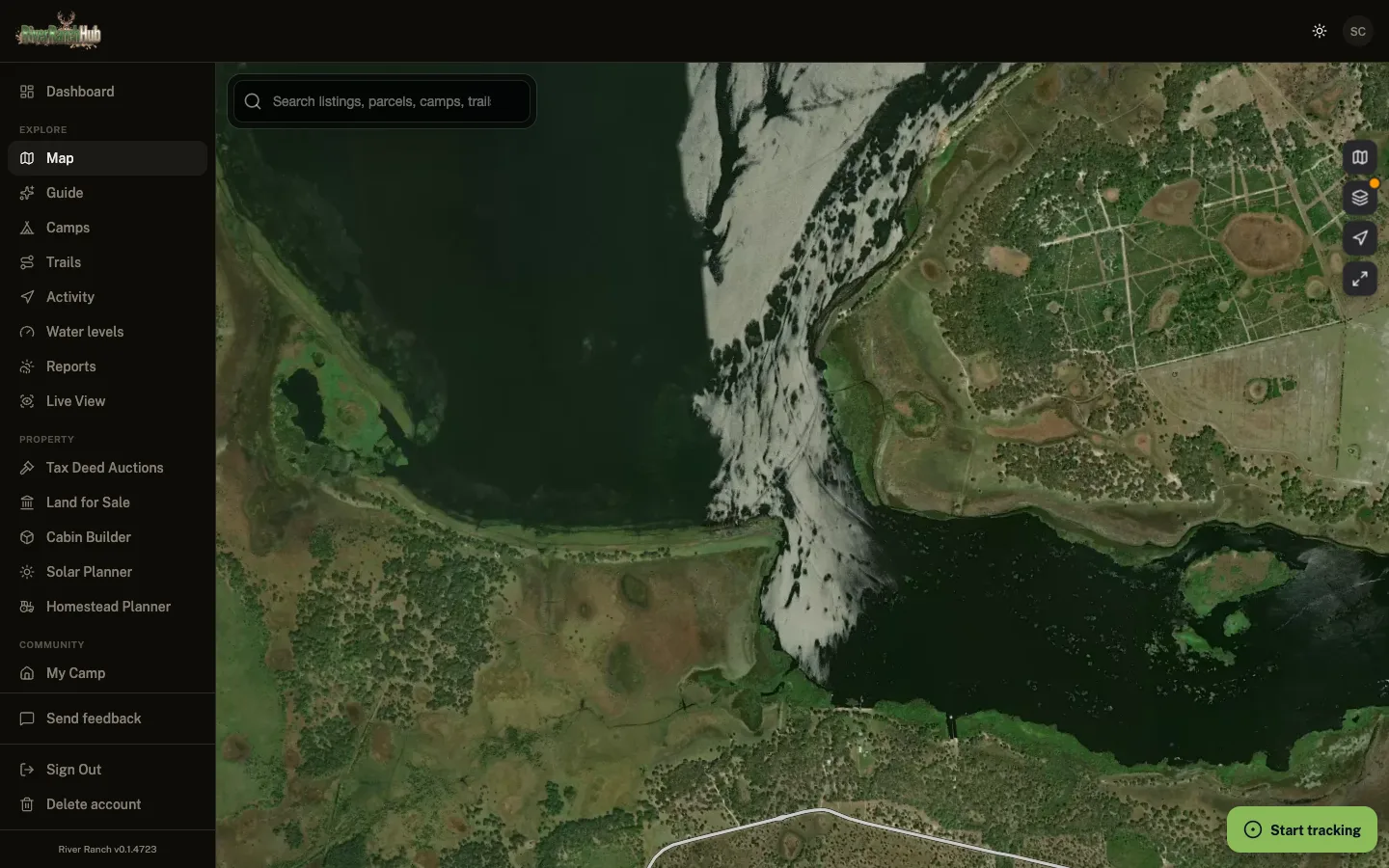
Parcel Data
Look up any lot. Stop paying $99 a year for it.
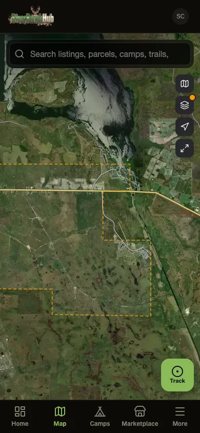
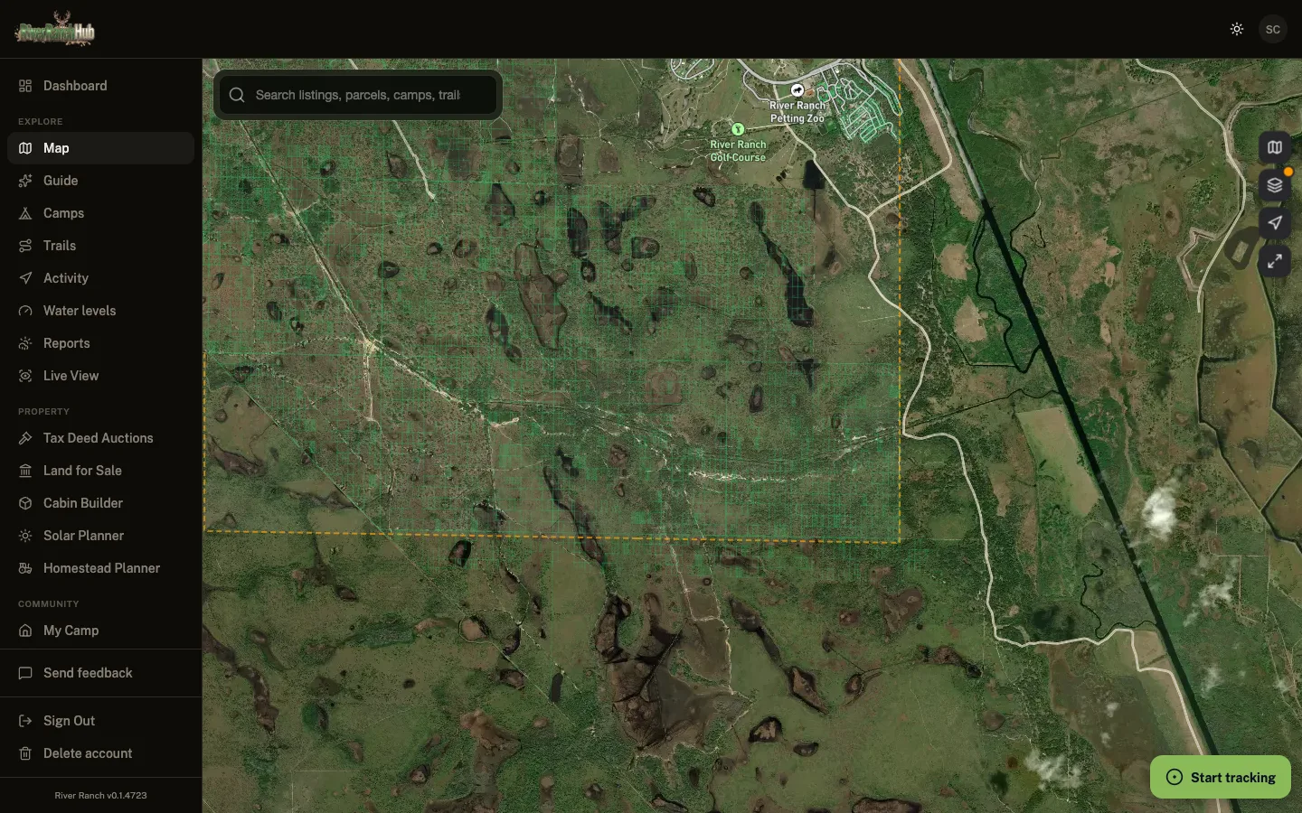
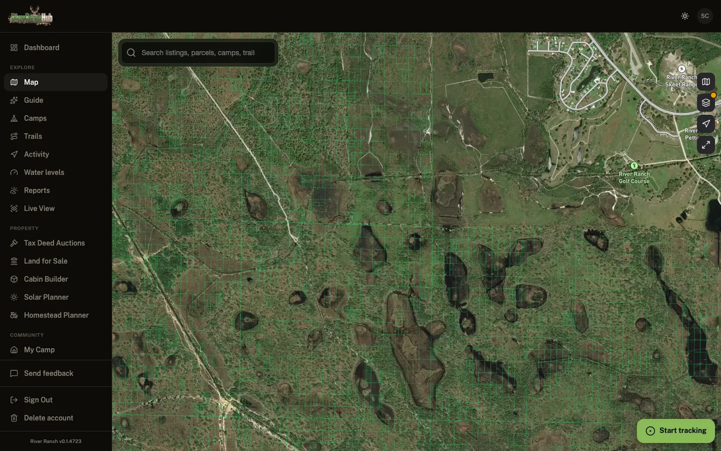
Tap anywhere on the satellite map and the lot lines, the owner and the parcel ID come right up. Free, every time, no LandGlide subscription and no Regrid account. Open it and tap your lot in River Ranch Acres.
Trail Maps
50,000-acre community, and nobody mapped the trails
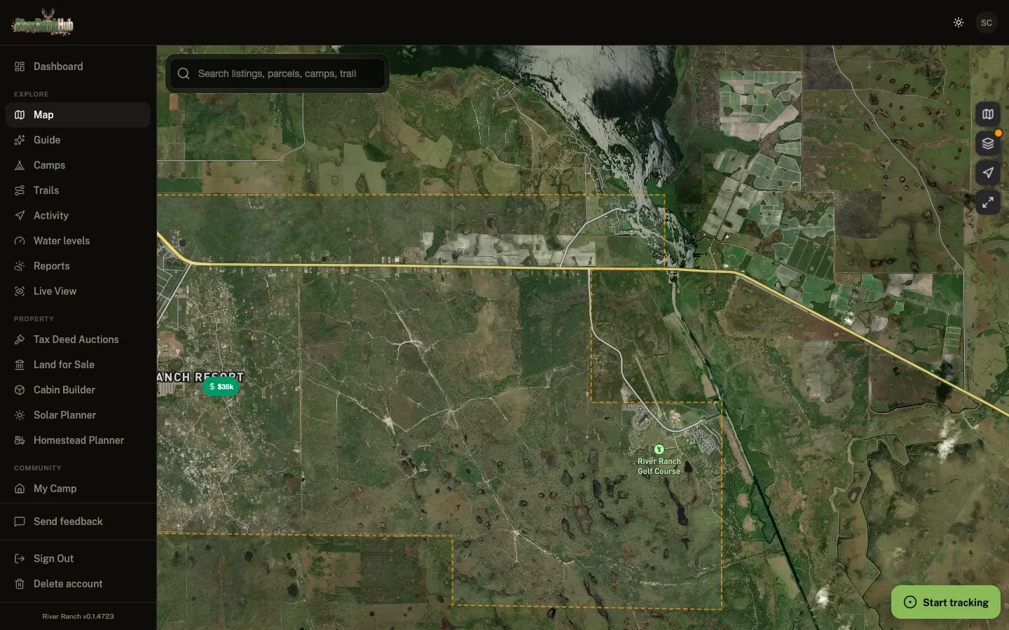
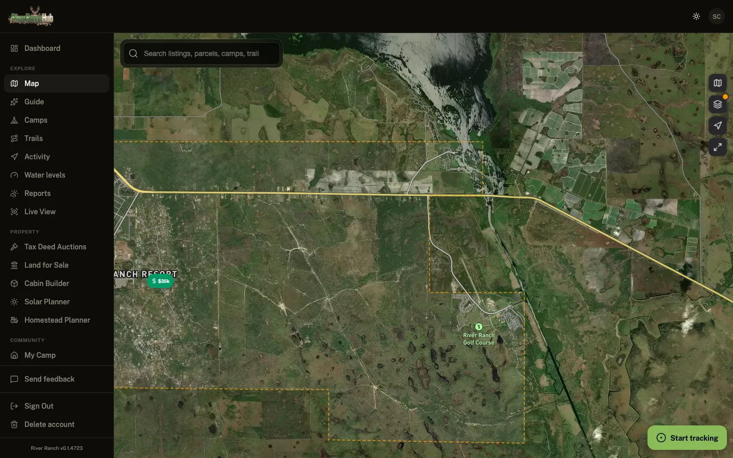
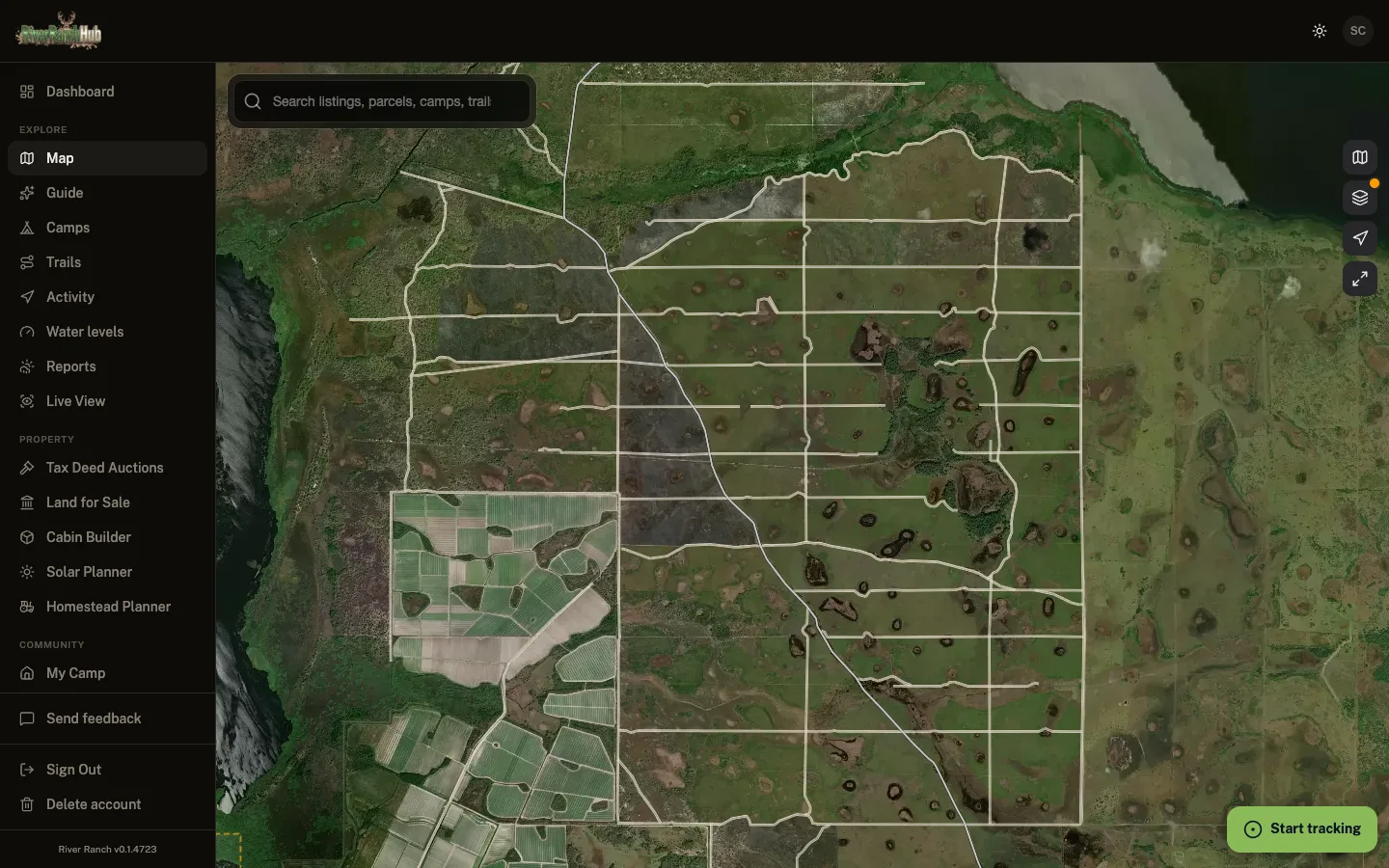
Hit record at the gate and it tracks the whole ride with no bars at all. Every track you save goes onto the shared community trail map on its own. Nothing to submit, nothing to fill out. Just ride.
Safety
Help, and fire warnings, before you smell smoke
One tap puts your GPS pin and what is going on in front of every landowner near you. Buried in the mud, broke down, or worse. Meanwhile NASA satellites watch for heat out here around the clock, so nobody has to notice the fire first, and when somebody does see smoke their report goes out on top of it.
Neighboring Parcel at Tax Auction
Tax deed auction on a parcel adjacent to your camp, opening bid $7,800. Auction date: April 15.
31-26-30-0000-0140-0100
Adjacent to "My Camp"
Neighbor alerts
Tax deed auction alerts for neighboring parcels
When the lot next to your camp lands on the Polk County tax deed list, River Ranch Hub pushes you the opening bid, the date and where it is, so you hear about it before the flippers do.
- Automatic matching. Every auction checked against your neighbors
- Opening bid & date before the courthouse steps
- Works for land-for-sale listings too
- One tap to opt out, anytime in settings
Group Rides
Keep track of everybody you came with
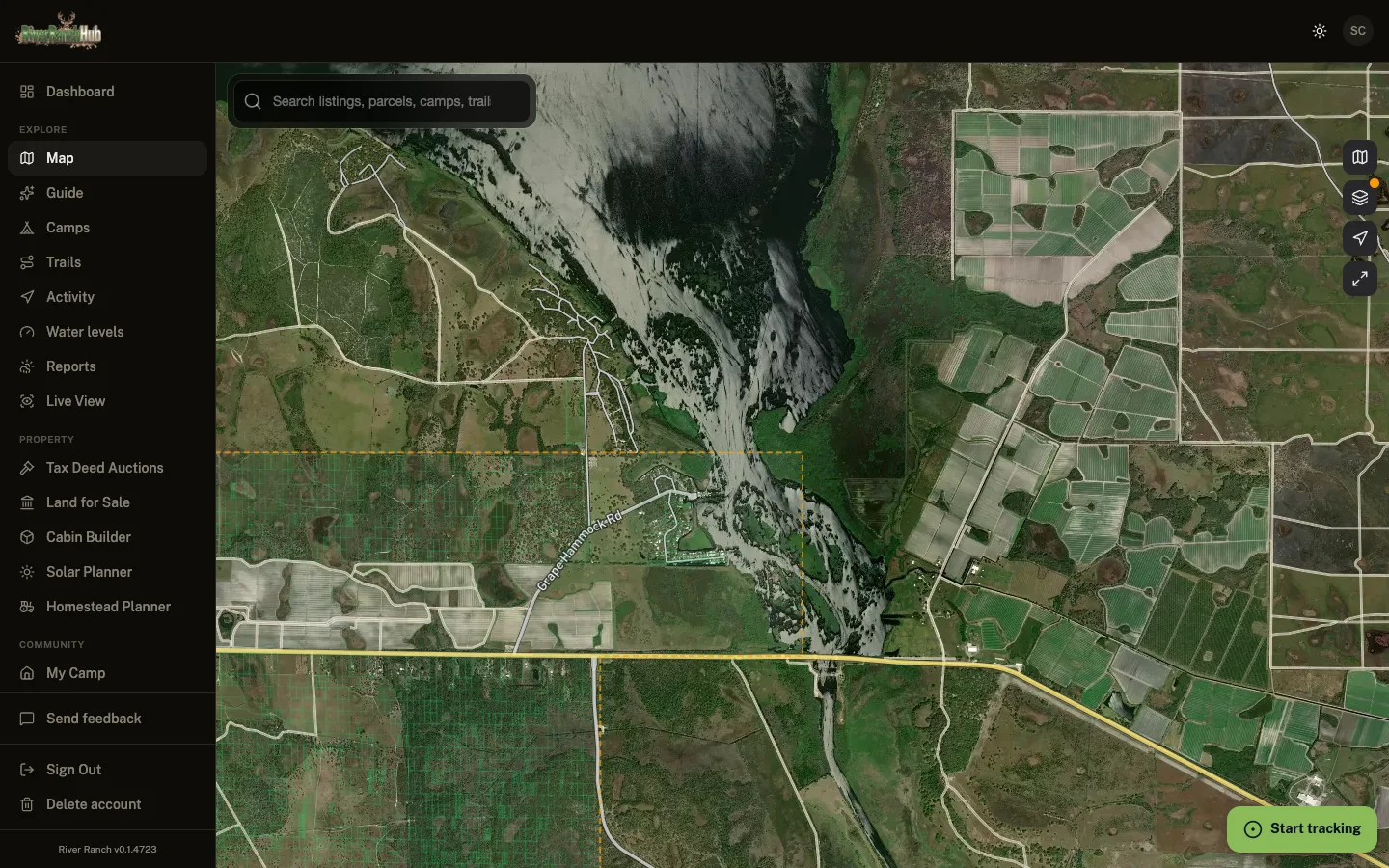
Share a code and everybody shows up on the same map, moving. No Polaris subscription to do it. Handy on a Saturday when the group splits up across the whole 50,000-acre community.
Compare
Stop Paying for What Should Be Free
The paid apps charge because they cover every county. We only cover yours, so it's free.
| Feature | River Ranch Hub Free | Regrid | LandGlide | Land id |
|---|---|---|---|---|
| Price | Free | From $99/yr | ~$99/yr | From $99/yr |
| GPS Parcel Maps | ||||
| Parcel Boundaries | ||||
| Owner & Contact Data | Free | Paid add-on | Paid | Paid |
| Full Area Coverage | Partial | Paid | Paid | |
| No Account Required | ||||
| Trail Recording | ||||
| Group Ride Tracking | ||||
| Fire Alerts | ||||
| Water Level Data | ||||
| Community Chat | ||||
| Camp Profiles | ||||
| Local Services Directory | ||||
| Community Marketplace | ||||
| Road Condition Reports | ||||
| Community Photo Feed | ||||
| Gate & Access Management |
FAQ
Questions we get a lot
The stuff people ask before they bother signing up.