
Skip to content
Live conditions

River Ranch Hub conditions

Weather, water levels and fire activity for this area, pulled from free public NOAA, USGS and NASA feeds. No account, no paywall.

Air

78°F

91° / 77° today

Wind

4 kt

gusting 9 kt

Rain chance

47%

0.00 in expected

Cloud cover

25%

Good solar day

Streamflow

37 cfs

Tiger Creek near Babson Park

River level

43.74 ft

falling

The week ahead

TodayCloudy91°77°47%13 kt
WedRain90°75°81%6 kt
ThuStorms89°74°73%10 kt
FriDrizzle91°76°79%9 kt
SatStorms94°74°70%8 kt
SunDrizzle94°76°60%7 kt
MonCloudy90°75°66%11 kt

Water levels

falling

Rainfall, past 7 days

Total 0.52 in

Tue
0.32
Wed
Thu
Fri
Sat
Sun
Mon
Tiger Creek near Babson ParkUSGS 02268390
Streamflow 37 cfsWater level 43.74 ftSurface elevation 61.55 ft

Below normal

17th · Streamflow

33 years of record · highest on this date 185 in 2005

Water level, 7 days+0.38 ft
Livingston Creek near FrostproofUSGS 02269520
Streamflow 25 cfsWater level 41.11 ftSurface elevation 62.74 ft

Much below normal

9th · Streamflow

34 years of record · highest on this date 330 in 1995

Water level, 7 days+0.27 ft

Fire watch

Satellite passes every few hours

Active fire activity close by

32 heat detections within 100 miles, nearest 12.1 mi out.

Map of nearby detections

Closest detections

None of these are named, managed incidents. Pick one to zoom the map to it.

How to read this. Most of these points are thermal detections from NASA satellites, not confirmed wildfires. Prescribed burns, agricultural burns and land clearing all show up the same way. Points with a name, acreage or a containment figure come from the national incident feed and are managed fires. Always confirm with your county emergency management office before acting on anything here.

In an emergency call 911. This page is informational and is not an evacuation notice.

Where this comes from

  • Open-Meteo (NOAA and ECMWF models)Temperature, wind, gusts, cloud cover and rain probability for this location.every 12 hrs
  • USGS water dataRiver stage and streamflow from 2 nearby gauges.every 6 hrs
  • NASA FIRMS and NIFCSatellite heat detections and named wildfire incidents within 100 miles.every 15 min

These are public feeds, republished as-is. Nothing here is an official forecast, a flood warning or an evacuation notice. For decisions that matter, check with your county emergency management office.
In your pocket

River Ranch Hub, in your pocket.

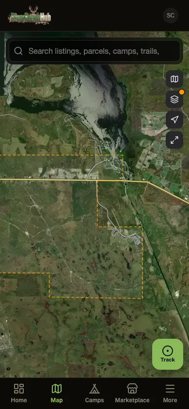
Everything on this site plus the parts that only work in the field: parcel maps, GPS trail recording that keeps going with no signal, one-tap SOS to the neighbors running the app, and fire alerts that reach you before the smoke does.

  • Parcel lines in your pocket. No subscription

  • Wildfire alerts around your community

  • Land for sale and tax auctions on the map

  • GPS tracking that keeps recording where signal never reaches

The River Ranch Hub app