Every Parcel in River Ranch Acres.
Free Forever.
Look up any lot in River Ranch Acres: who owns it, where the lines run, what the county says it is worth. Free, no account, on your laptop or your phone.
40,021 parcels mapped24/7 NASA fire watch50,000 acres to roamLive road and water conditions


Explore the map
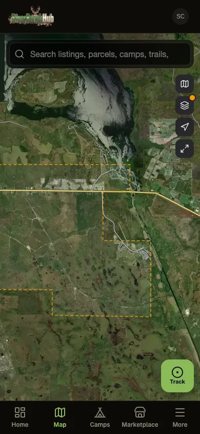
See River Ranch Acres the way the app does
The same live map residents use: parcel boundaries, recorded trails, camps, landmarks, land for sale, and upcoming tax-deed auctions. Tap anything to dig in.
Free tools
Free tools for River Ranch Acres
No account, no subscription, no trial that runs out. All of it runs right here in your browser. The maps and records are River Ranch Acres specifically instead of the whole country, and the planners work on whatever piece of land you have got in mind.



In the app
The rest of it lives in the app.
The tools above answer questions from your couch. These are the ones that have to work out on the property, on one bar of signal or none at all.
Fire Alerts
NASA satellites watch for heat out here around the clock, and smoke reports from your neighbors come in on top of that.
Trail Recording
Records with no bars at all. Every track you save goes onto the community trail map.
Group Ride Tracking
Share a code and everybody shows up on the same map, moving. No Polaris subscription to do it.
Road Conditions
Color-coded reports from whoever just drove it. Know what is passable before you load the trailer.
Community Chat
Announcements, gate codes and weekend plans in one place instead of six Facebook groups.
Your Camp Profile
Claim your parcels, put up photos, list what you have got out there. Let the neighbors see what you built.
Community Photos
A shared feed for everybody out here. Post what the trails look like today.
FAQ
Questions we get a lot
The stuff people ask before they bother signing up.